When my friend and I decided to go backpacking for the first time in two years, we wanted to settle on something that would be around a three day hike for the two of us to complete. With about an eight hour drive the furthest we were willing to travel (because fuck long car rides), somewhere in Western North Carolina was a perfect fit.
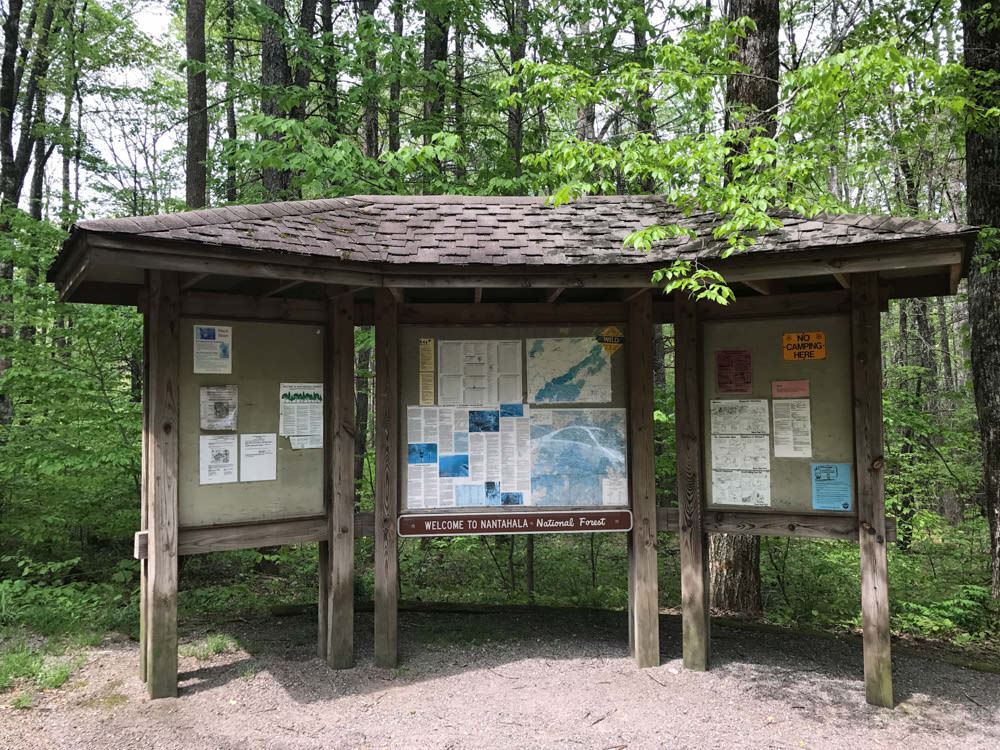
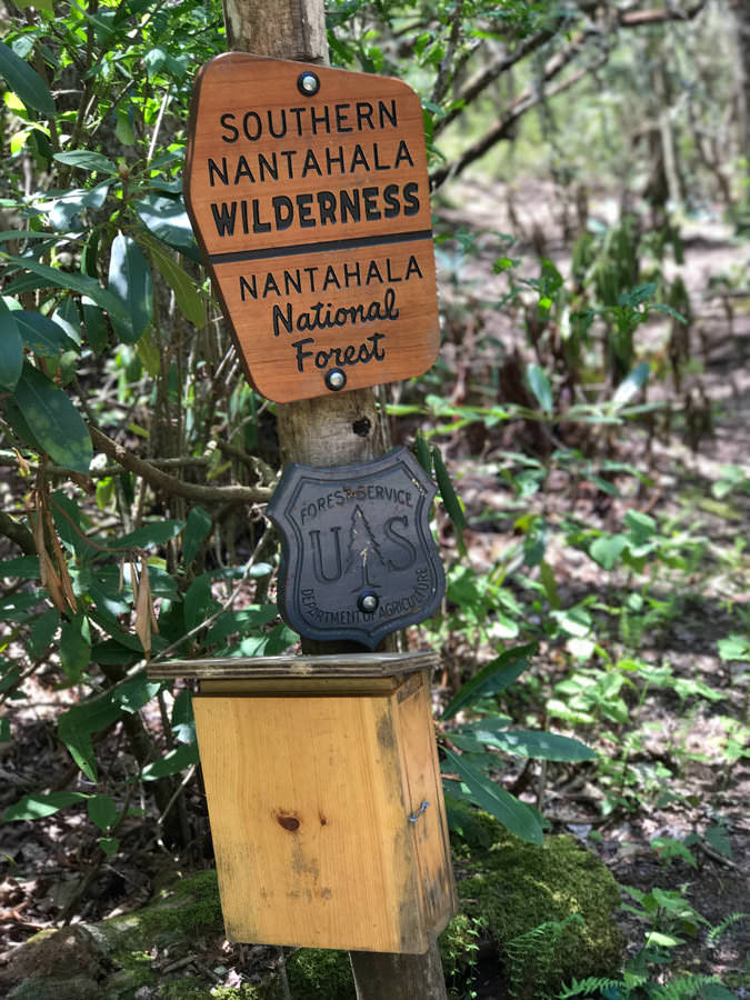
The Nantahala Headwaters Loop, AKA the Standing Indian Loop, is a 25 mile trail in the Appalachian Mountains, more specifically the Nantahala National Forest. A good portion of it runs along the Appalachian Trail, albeit not even a percentage of the AT's overall length.
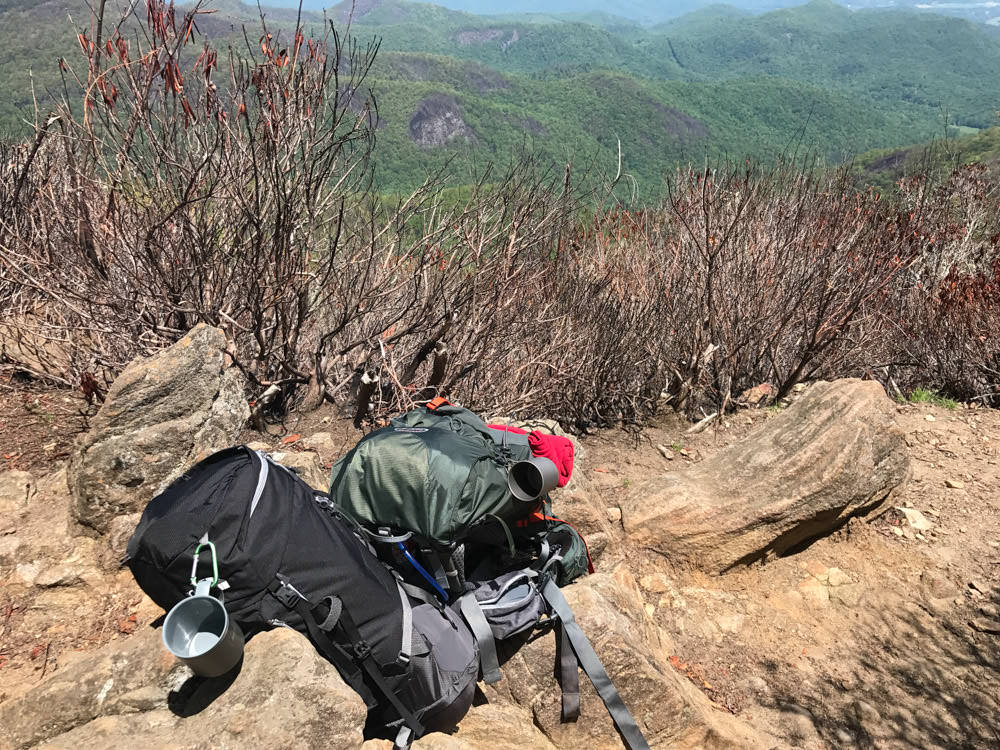
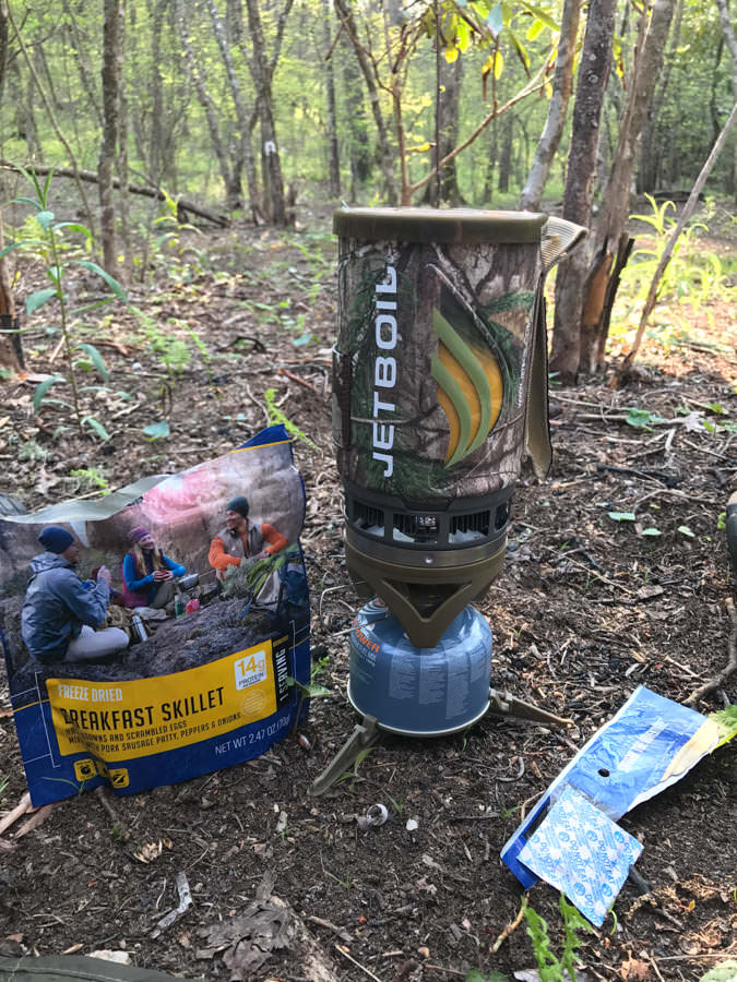
We figured we'd be out in three days, hopefully around noon the final day. We planned for three days of hiking with out bags, this being the first opportunity to test my new bag and other things on a hike longer than 2 days for the first time.
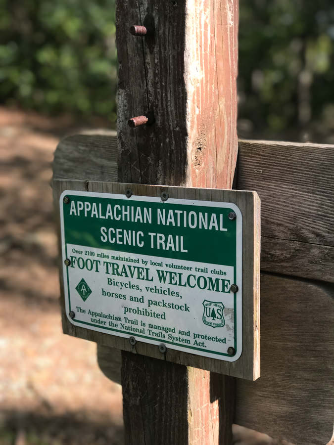
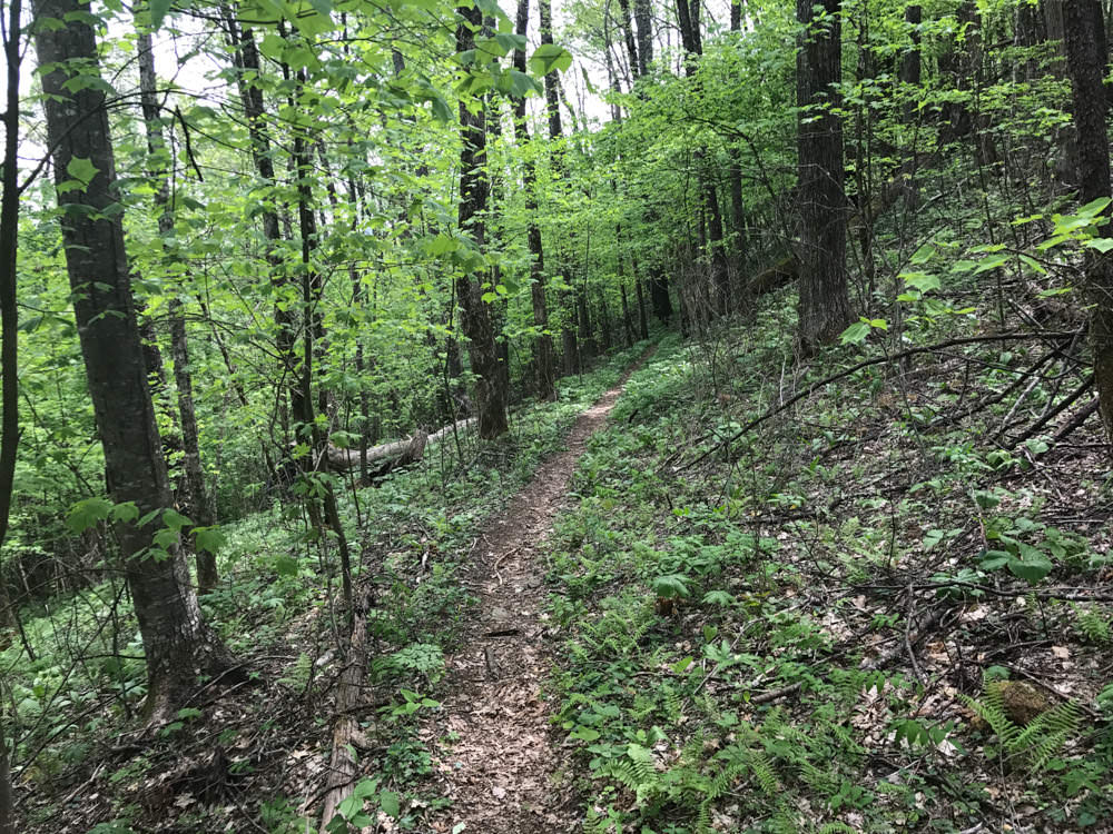
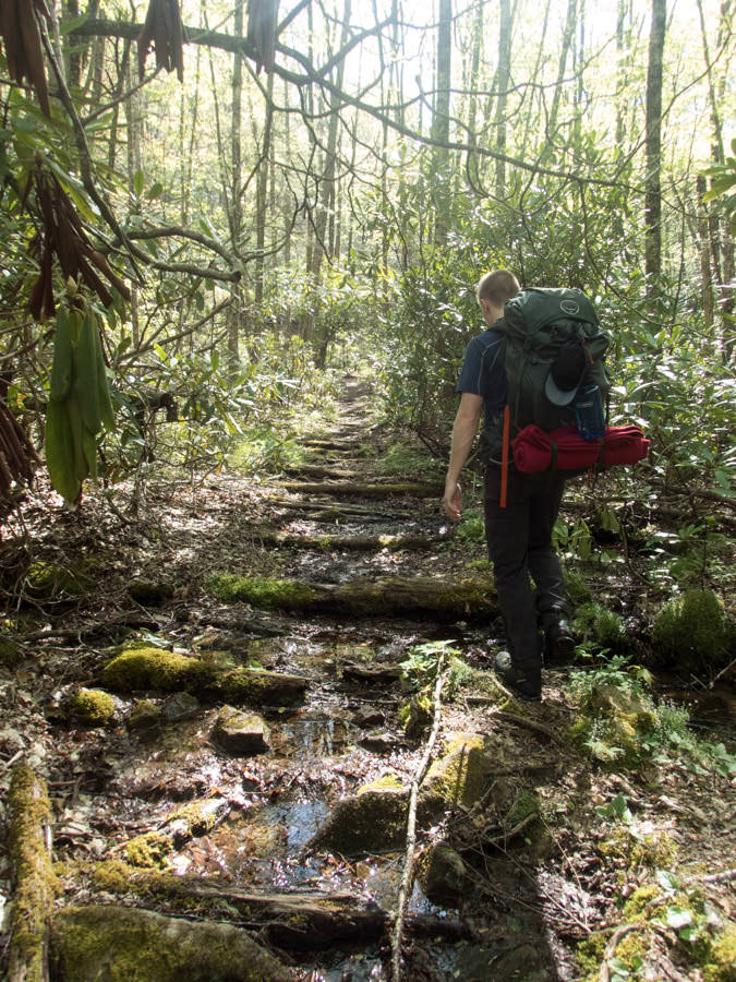
After driving to to the trailhead we set out on the connecting trail, Long Branch. Following it for about 2 miles and passing some real redneck ass little kids with mullets camping and sitting around a fire, we hit the connecting Appalachian Trail that would carry us most of the way back around the loop.

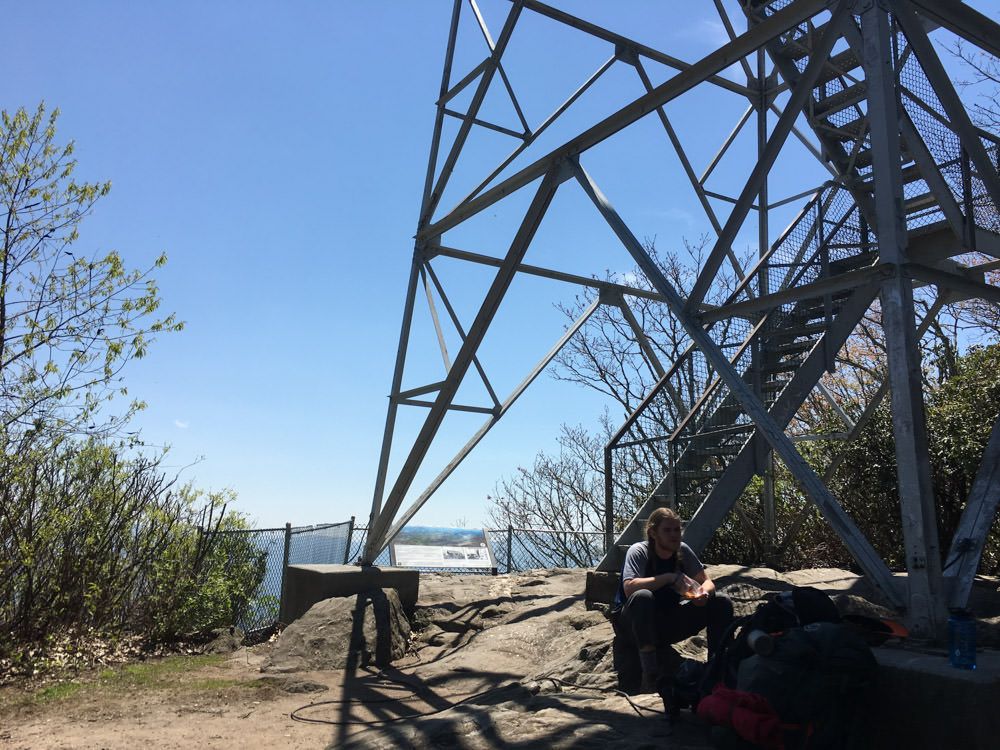
We passed quite a few hikers during the trip, with a few passing the AT/Long Branch junction as we were taking a break. I assumed a few were thru hiking the AT, and my suspicions were confirmed when we met a guy named Lewis up at the Albert Mountain fire tower, making him about 100 miles into the trek. Overall a cool guy, like most thru hikers you run into.
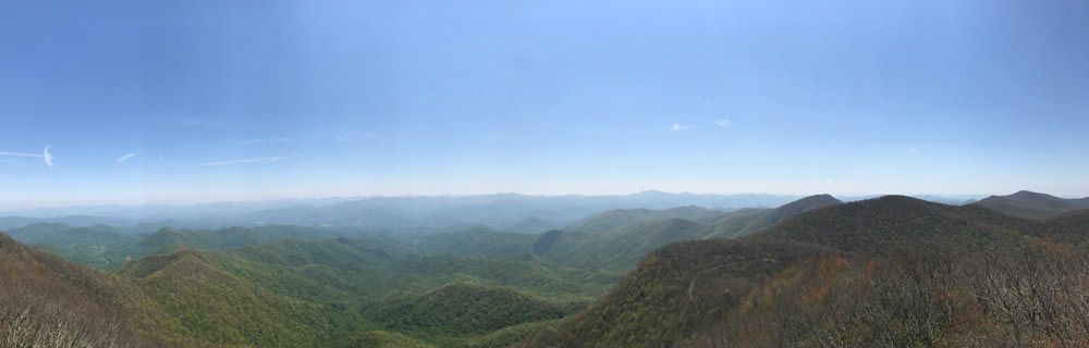
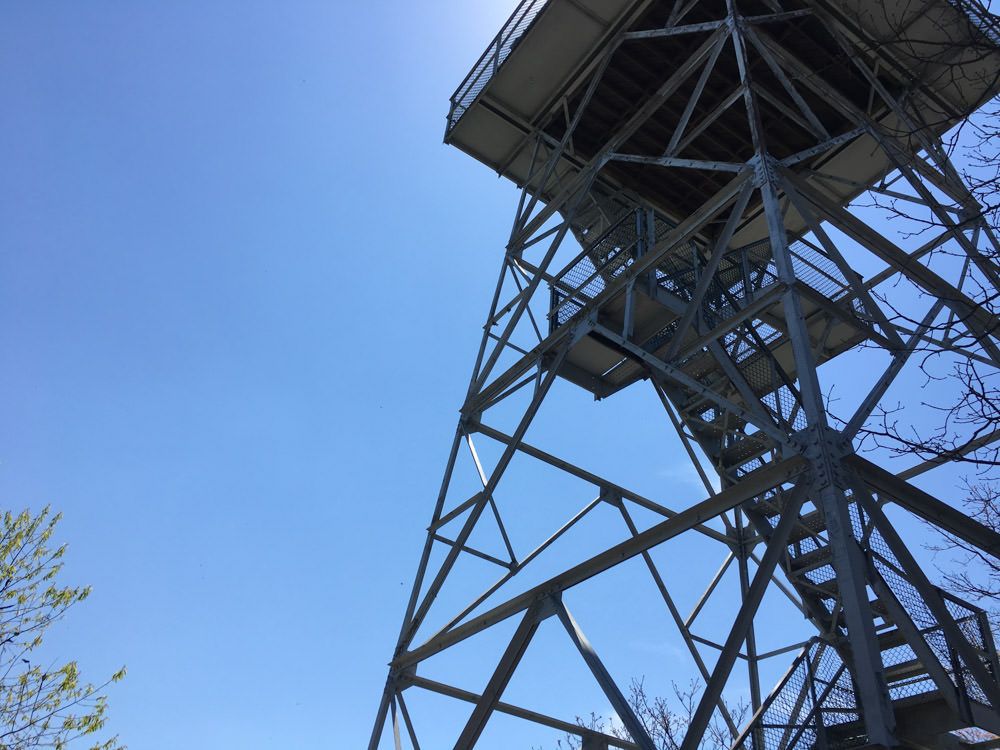
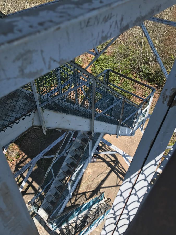
Albert Mountain was the first big milestone we hit after about 7 miles into the hike. An absolutely gorgeous view of Appalachia without much obstruction from the trees. You can climb up the stairs of the fire tower reaching mostly, although the tower itself is locked off, probably to prevent idiots from vandalizing it. Regardless the view is incredible and after meeting an older guy who was thru hiking (and was from Indiana!), we set off the south side of the mountain to continue.
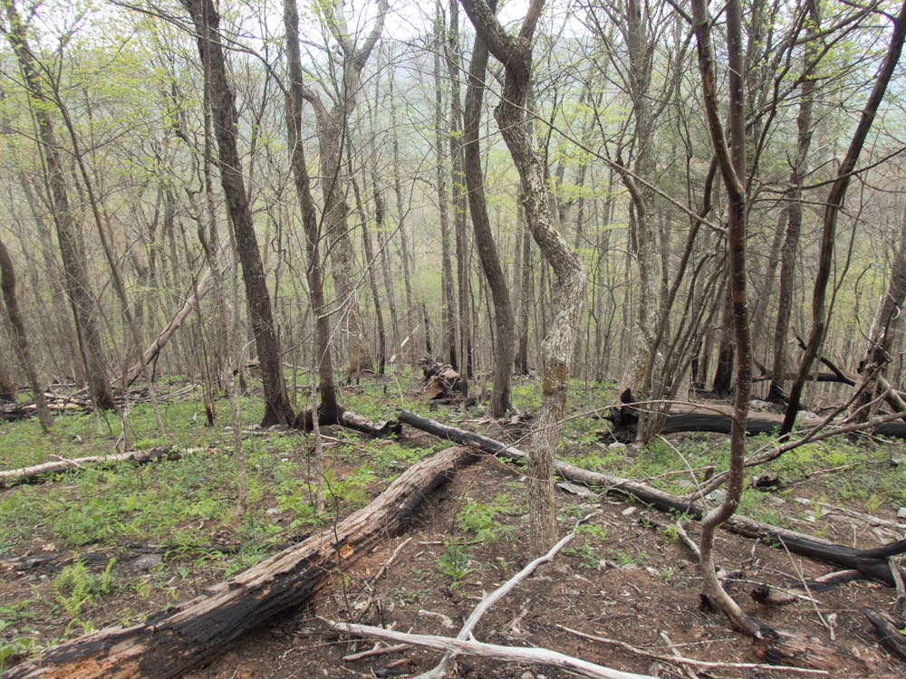
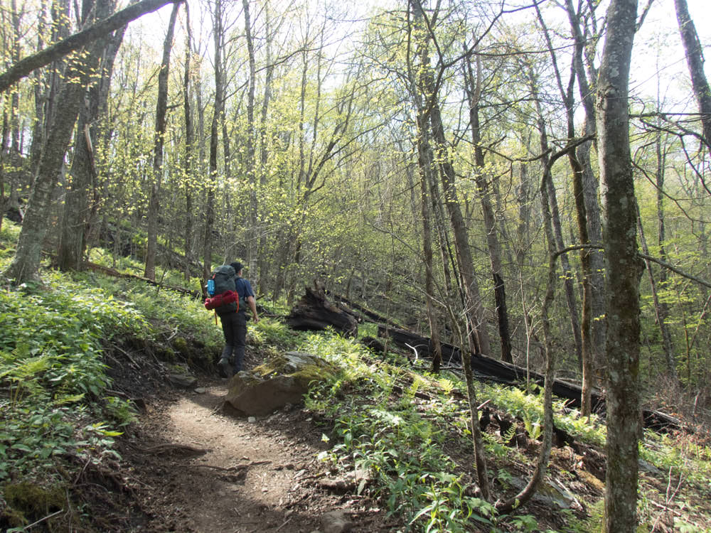
After a decent amount of downhill and passing a couple more hikers, we were at more level ground and continued on the hike. The weather couldn't have been better for us. While it did reach 80's in the afternoon, it was mostly sunny with brisk breezes, and plenty of shade from the deciduous trees having been growing back leaves for a bit.
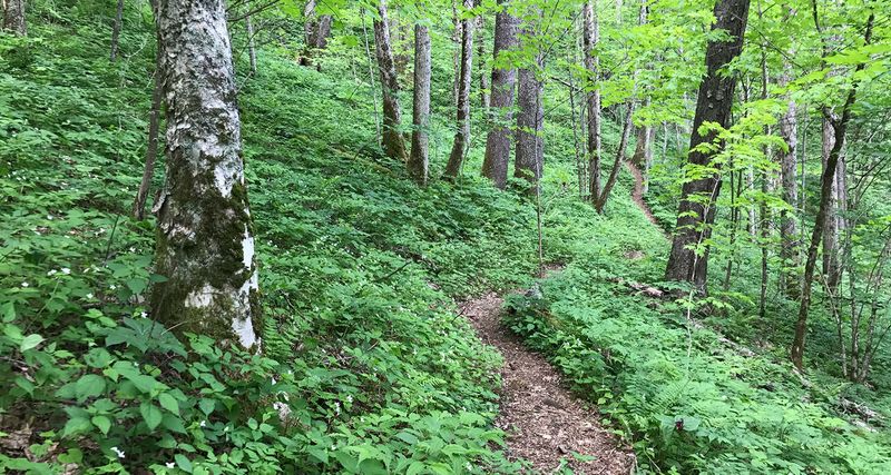
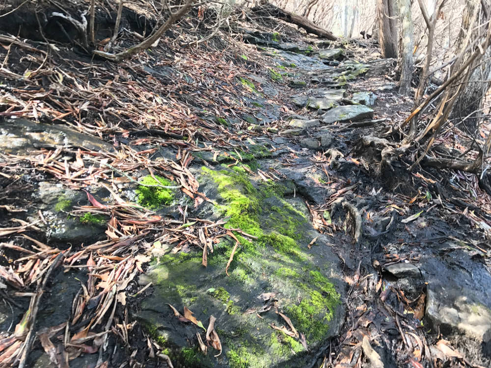
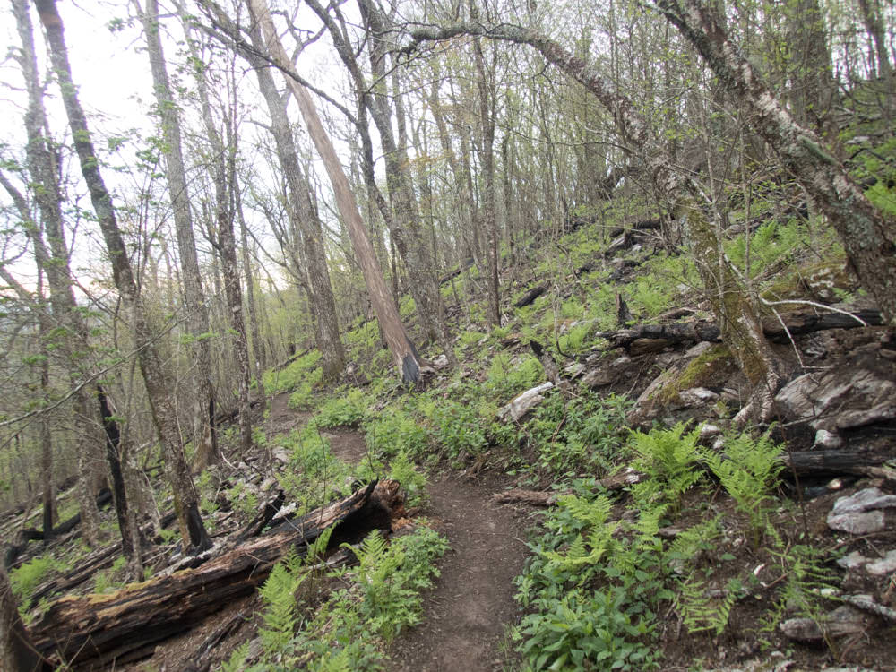
We passed both the Mooney Gap and Berry Creek Gap checkpoints, after taking some time to eat and rest. What surprised me was how put together, at least this section, of the Appalachian Trail was. You expect the trails to be blazed and defined well (this part of the AT was blazed white), but each gap had signs denoting your location, as well as logs arranged to have a seat. Whether or not hikers took it upon themselves to arrange or it was trail workers, I'm not sure. Regardless, we really felt like we had hit a milestone at each of these places, having stopped and rested at just about all that we passed.
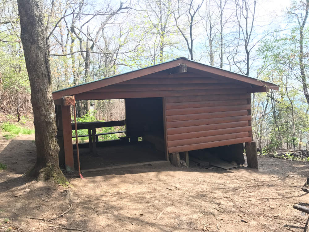
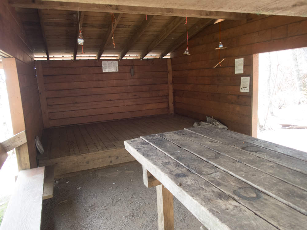
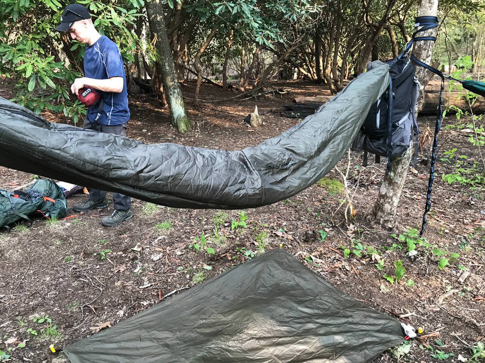
The New Carter Gap was the next large milestone, and it gave us a great look at the types of shelters that litter the Appalachian Trail. I had always been curious how they actually function and the New Carter Gap Shelter was a great example. A large, flat spot to set up with space for around 8 sleeping pads, a table, bench seating, and a couple privies around the corner. Even though we were hammock camping, it was badass to see these things in person.
We took another break here for a bit and set off, already way ahead of our planned pace. No way we were taking 3 days to do this hike. We were, distance wise, about half way done after about 7 or so hours of hiking.
Almost out of juice and on the verge of developing some gnarly blisters, setting up camp was on the forefront of our minds. We needed to re-up on water, each of us having gone through about 4 liters so far so we filled up at the next stream we found (water was very plentiful throughout the whole hike), and pushed even further towards Beech Gap as our stopping point for the day.

Way ahead of schedule, and well aware we were going to complete the hike in 2 days, rather than 3, we packed up and headed north towards Standing Indian Campground.
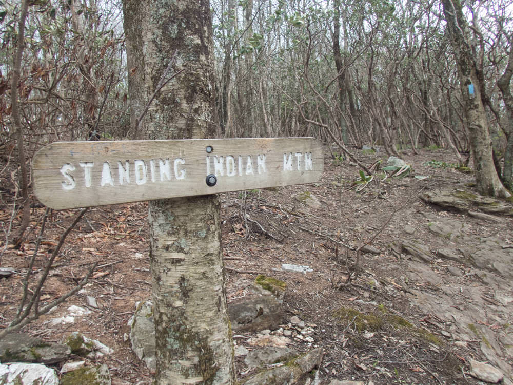
It was roughly a 1000 foot climb out of Beech Gap, so we were ready for some uphill for most of the day. It wound up not being too bad, and after a short rain shower, we were at the next Standing Indiana Campground checkpoint in a couple hours. Standing Indian had another large sheltered campground, although it was a bit of an uphill hike from the junction we needed to take off from to finish out the loop – officially getting us off the AT and on Pine Ridge trail.
We were psyched to be nearing the end, something of a bittersweet and weird feeling with backpacking. You're excited to be out there, but at the same time you're excited to be reaching the end and being able to devour a nice meal and shower.
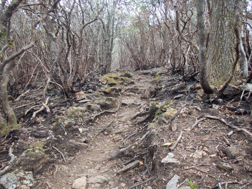
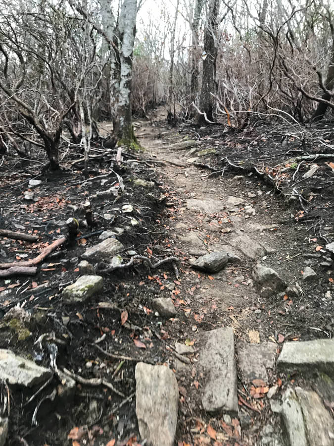
The Pine Ridge trail was brutal at this point. A 2000 foot descend in 4 miles meant that it would be downhill pretty much the entire way until we closed the loop. We were up for the challenge, but anyone who's done a decent amount of backpacking knows just how shitty downhill can be – especially without any poles.


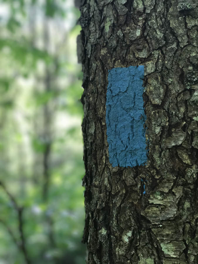
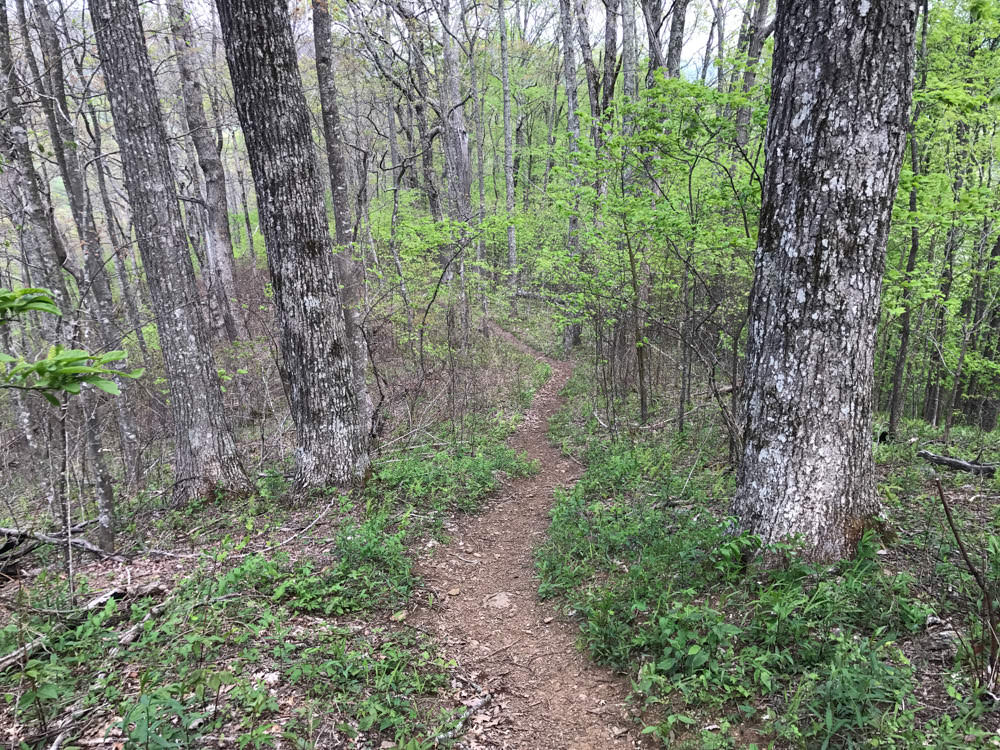
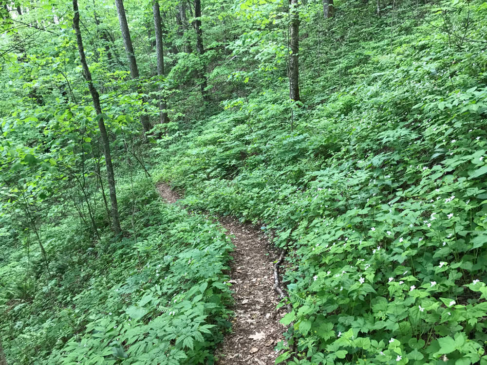
Regardless, we knew we were just a few hours away from the car, and therefore reaping the spoils that nearby Asheville had to offer. The vegetation and scenery was very green and lush on the way out, reminding us of when we first started the trip about 24 hours prior. We followed the blue blazes back, and eventually the terrain started to level out.
Despite planning for 3 a day hike, we completed it in 2, which we weren't really sure how to feel about. We wanted another night in the woods, but at the same time it was rewarding to have completed the hike ahead of schedule.
Made it back to the trailhead and we were off! Loved this hike and it's got me itching to do more sections of the AT. Maybe one day I'll be prepped and ready to try a through hike, but I've got lots of practice to go until then. ✌️